
[with audio!] Trees, peat, and Barpa Langais
[with audio!] Trees, peat, and Barpa Langais
A bit of Neolithic Scotland
Last week, we talked with South Uist native Gillebride Macmillan about his Gaelic songs, and before that, got a chance to see Archie MacDonald’s amazing 30-year project of reforesting his corner of the island with native trees.
Much as I try to look through all my photos to find the best ones to share with you, I always miss some good ones! So I’m going to start with a few from South Uist before we travel north.
Usually, I avoid photos with people, such as travelers on our trips, but here are a few folks I’ll make an exception for. Below on the left is one of my favorite hosts of a B & B in South Uist, Mairi Steele, and to the right are a couple of photos of Angela and Archie MacDonald, with Dorothy in the top picture and myself in the bottom.
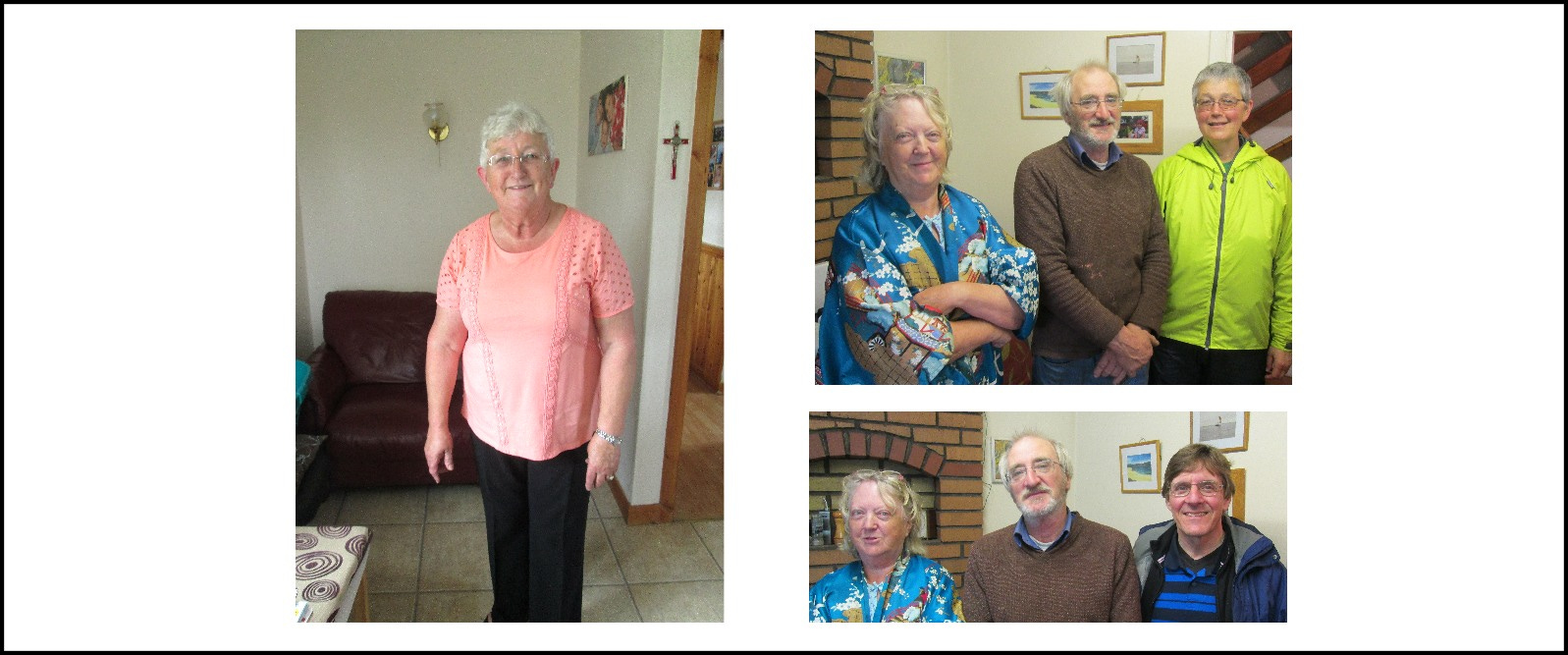
Mairi Steele grew up in South Uist, speaks Gaelic, and knows about everything and everybody! (And she knows her mind. Once when I said, “Do you think the porridge could have a bit less salt today?” she said simply, “No.”) She was tremendously helpful, friendly, and unassuming. When she was a girl, a piper came to the town and taught Highland dancing, so she learned to dance, and knows the music well.
For that reason, I was very happy when she told me she really liked a tune I wrote for her. It’s called Mairi Steele and was written in an old Scottish style but with a few twists. If you like, you can hear me play it here, with my son Neil on piano:
Let’s take one last look at Archie’s handiwork, the lush landscape of Arinaban, the name of his croft taken from the Gaelic, Àirigh Nam Ban (Sheiling of the Women), which referred to a medieval nunnery located there.

Below are a few extra views from one of the trails Archie built. The area is a peninsula on the east coast of South Uist. In the photo on the far right, you’ll see the ruins of a building that was an inn house in the 17th century. Archie said it was built long after the nunnery was gone, at a time when travel increased because of rulings by the 1609 Synod of Iona, which made a number of demands of Highland chiefs, including that they send their sons to English-speaking Protestant schools (some refused that one).

As we drove north, we happened to see a field with a peat cutting. The peat is sliced vertically from the ledge seen below on the left, cut into triangles, and propped up to dry. Then it is collected and used as fuel for heating and cooking. It is said that when the first Highlanders were forcibly evicted and crossed the sea to Nova Scotia, they landed amid densely forested land where they could find no peat, and wondered, at first, how they would find fuel for a fire! By the time they had left Scotland, much of the Highlands was barren of the trees that Archie has brought back to South Uist.
On the right is a view of the flat land of Benbecula. This round island, about 7 miles in diameter, is located between South and North Uist. In the background can be seen Rueval, the highest point on the island at about 400 feet. You may have heard the beautiful waltz “The Dark Island,” by Iain McLachlan, which was used as the theme song for a BBC TV show of that name. Dark Island is another name for Benbecula. It was here, after the battle of Culloden, that Bonnie Prince Charlie landed after being blown off course by a storm. Flora MacDonald managed to take him from this little island “over the sea to Skye” so he could escape his English pursuers.

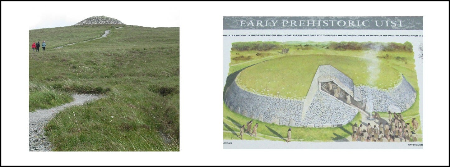
After crossing the causeways over very shallow straits between the three islands, we reached North Uist, and headed for a fascinating high point called Barpa Langais (pronounced Lan-gosh).
Below is a shot I took as we climbed the hill to this 5,000-year-old burial cairn. On the right is an artist’s rendering of what it might have looked like in its heyday.
On one of our visits to Barpa Langais, I found myself humming a tune the entire way up. I hung onto the melody and wrote it down, eventually naming it for the burial cairn that inspired it. In case you’d like to hear the tune, I’ve included it below, once again with my son Neil on piano.
On top of the hill, we came to the entrance to the cairn. It’s now blocked off because of a minor collapse that took place inside. The first time we visited, we were still able to peek in.

From the top of the hill, we could see flat land in all directions, with several major hills in the east and southeast.

As we started downhill we spotted an oval of standing stones, which you can make out in the photo below.

Here you see a few of the stones closer up, and on the right, the ruins of a building, ancient and yet several millenia more modern than the standing stones.

At the end of our walk at Barpa Langais, there was an inn with a restaurant, a nice place to rest and have a cuppa!
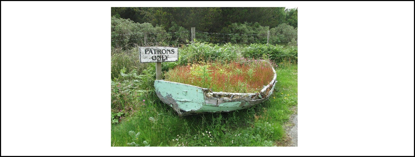
Just before we got there, though, we spotted a lovely boat apparently reserved only for some special people. I’m sure you’re jealous of those lucky patrons!
Those tunes are absolutely beautiful Ed - particularly the second one! Thankyou for sharing them 🎻🎻🎻❤️